


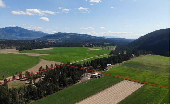
This 191+ acre ranch, spread across two titles, features 155 acres of irrigated hay land adjoining 6,200+ acres of range land (164 AUMs). With multiple water licenses on the creek & a highly productive irrigation well. Includes a modest family home, equipment shed & hay shed.


 +44 photos


Beautiful acreage with productive hay land located in a prime spot at the south end of the Hughes Range in the Canadian Rockies, also known as "the Steeples."
This scenic property spans two titles, totaling 191.25 acres, and includes access to over 6,200 acres of adjacent range land with 164 AUMs. Of the total acreage, approximately 155 acres are irrigated hay land with a steady water supply from Norbury Creek and a high-yield irrigation well (500 GPM). The fields are irrigated with wheel lines but the shape of the hay field with the corner cut off / forested is perfect for a pivot.
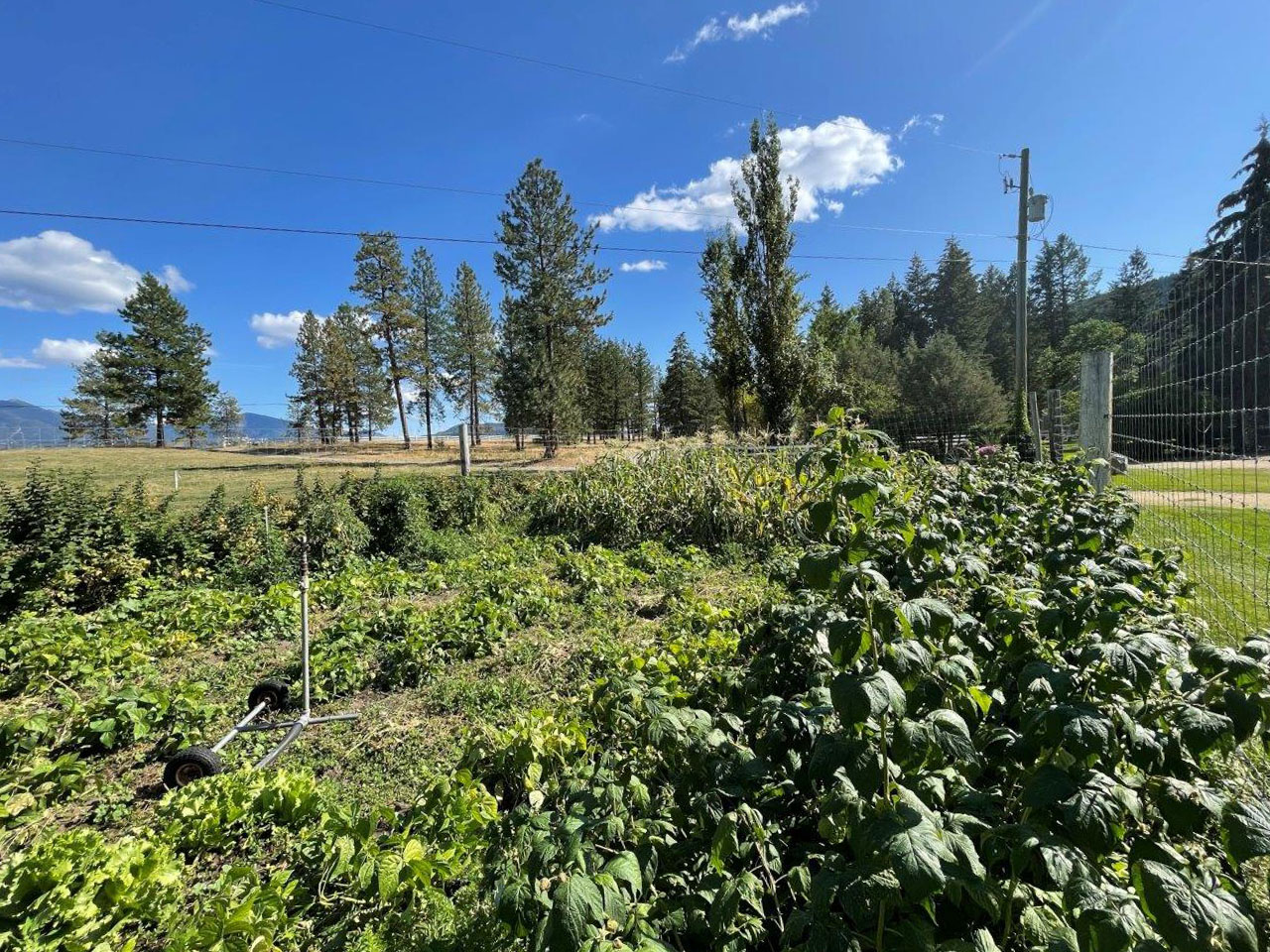
The ranch is primarily fenced with electric fencing to keep the wildlife / elk out and is well-suited for cattle. Together with the adjacent range land, it has supported over 200 cow-calf pairs for decades. On its own, the property can sustain 100+ pairs with the available hay and grazing.
A six-acre portion of the hay field is leased to Bayer for canola seed production, generating approximately $20,000 annually. Bayer covers maintenance, seed & fertilizer costs, and reseeding back to grass.
Norbury Creek runs through the property for about 2,800 feet, creating a lush corridor behind the house and serving as a reliable irrigation source. The creek’s flow increases in summer as snowmelt feeds Norbury Lake. Early in the season, the well provides reliable irrigation water before the creek levels rise.
The western edge of the ranch connects seamlessly to open range, offering grazing land and access to recreational opportunities extending to the Kootenay River. The area is rich with wildlife, including elk, deer, bears, and wild turkeys, making it an ideal spot for outdoor enthusiasts and hunters.
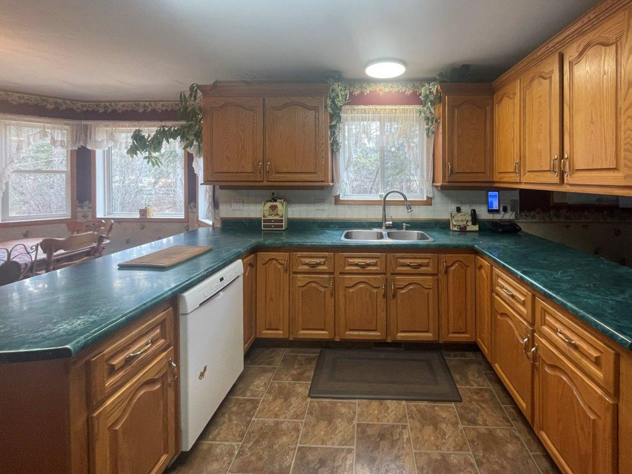
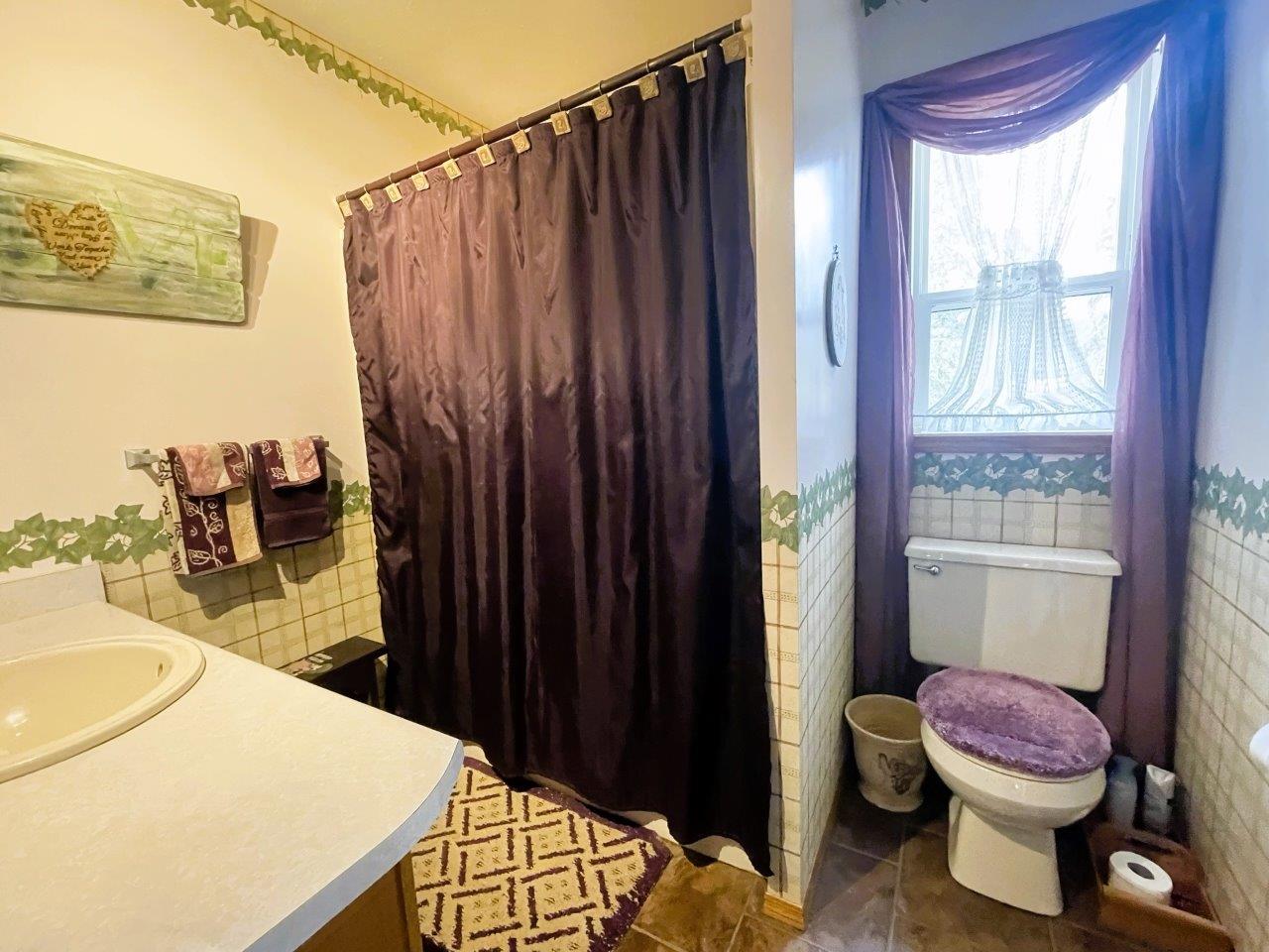
The property includes a 2,400 sq. ft. family home with a double garage, garden, carport/equipment shed, and a hay shed near the fields.
With multiple titles, this land is well-suited for an extended family. Each title has legal access and can be sold separately. The larger title with the existing house allows for an additional 2,002 sq. ft. home, while the smaller bare land title permits a house up to 5,392 sq. ft. plus a 968 sq. ft. secondary dwelling. Buyers should confirm allowances with the ALR and regional district.
This is a rare opportunity to own a productive ranch in a highly sought-after area of British Columbia.
Main Floor
Upper Floor
Basement
Attached Double Garage
191.25 acres + 6,200 acre Grazing Lease
3261 Wardner Fort Steele Road - Fort Steele, BC
4 km south of Norbury Lake Provincial Park on Wardner Fort Steele Road.
The property is located in the East Kootenays, along Wardner Fort Steele Road, a picturesque drive along the base of the Rocky Mountains. As you leave Fort Steele and drive south towards the property you will find lots of very scenic and productive ranch land, and of course spectacular mountain vistas. Just before you reach the property you pass Norbury Lake Provincial Park where the creek supplying water to the ranch flows from. The ranch sits at 830 metres in elevation. Most of the agricultural land in the area is for hay and cattle grazing, although more recently a few have started growing veggies commercially.
Cranbrook is the largest city in the Kootenays serving a local population of 25,000 and servicing a much larger population as a regional centre. The city is a 25-minute drive south of the ranch. In Cranbrook you will find all the amenities you would ever need from big box stores to boutique shops to professional services. Here you can most major franchises as well as being the location of the East Kootenay Regional Hospital an international airport with daily flights to Calgary and Vancouver and seasonal international flight options.
On the broader scale, the property is located in the southeast Kootenay district, in the broad Kootenay River Valley between the Purcell and Rocky Mountain ranges. It is approx. an hour north of the United States and the borders of Montana, Idaho and Washington. The area is recognized as the ‘warmer side of the Rockies’ with a nice dry climate and is noted as having the most sunshine hours in all of BC.
Branching out from the property, the East Kootenay region is unique in the number of recreational activities that can be enjoyed year-round. There are great fly-fishing opportunities, kayaking the St. Mary’s or Kootenay River, or exploring backcountry Crown land and mountaineering. Kimberley Alpine Ski Resort with over 1,800 acres of terrain, 80 named runs and glades, plenty of sunshine and dry snow is one of BC’s finest and is 40 minutes away. The Kimberley Nordic Club trail network consists of a multiple variety of cross-country tracks including a trail illuminated for night skiing. The Kimberley Nature Park is one of the largest municipal parks in Canada, offering 800 ha/1,800 acres of parkland filled with hiking, biking, Nordic/cross-country skiing and snowshoeing trails. The Columbia Valley boasts additional ski destinations such as Fairmont Hot Springs. Panorama Resort and Fernie is a little further away (approximately 1.25 hours).
There is an abundance of championship golf courses are located within 30-40 minutes of the property: Trickle Creek Golf Resort, Wildstone, Bootleg Gap Golf Club, Wildstone, Kimberley Golf Club among others.
In the fall of 1863 gold was discovered near today's Fort Steele, at Stud Horse Creek, a tributary of the Kootenay River. Soon after the word of this discovery got out a rush of placer mining activity ensued and Fort Steele was founded in 1864—15 minutes away. The original town name was "Galbraith's Ferry" named after the ferry set up by the city's founder over the Kootenay River. The town was renamed Fort Steele in 1888, after legendary Canadian lawman Sam Steele of the Northwest Mounted Police. By the late 1890s, Fort Steele was growing rapidly and becoming the heart of the East Kootenays and the Canadian Pacific Railway showed interest in Fort Steele deciding that a station was to be built. But as the document stating the railway was to go though Fort Steele was on its way to be approved, a gentleman named Colonel James Baker had other ideas.
Baker, a member of the British Columbia legislature, owned a small logging camp named Joseph's Prairie. Baker bribed and blackmailed his fellow Members and convinced them to bypass Fort Steele and bring the railway through Joseph's Prairie. This was finalized after the document stating the railway was to go through Fort Steele was "lost" in the mail. After the railway was completed, Baker renamed the town to Cranbrook. He later sold the people of Fort Steele land in this new community and its population quickly dropped as they moved the few miles to Cranbrook. After Fort Steele was abandoned, the site slowly started to decay. In the mid-1960s, BC parliament resolved to preserve many historic sites. In 1967 Fort Steele was designated a historic site and restoration began. In 1969 Fort Steele opened to the public as Fort Steele Heritage Town, in 1971 Queen Elizabeth and the Royal Family visited. Since then, millions of tourists have visited the site and Fort Steele has become one of British Columbia's premier western history themed tourist attractions.
Please see mapping section, all boundaries sketched on pictures are approximate.
49°30'27.90"N and 115°27'56.13"W
2,400 ft2 (4 bedroom) house (1995)
Carport / Equipment shed by house
Shed
Hay Shed
Total $1,450 (2024)
RR-60 - Rural Resource
Each title could have a house and a guest house
Single Family Home, Guest Ranch, Kennel, Duplex, Forest Management, Grading / Washing / Screening / Extracting Sad and Gravel, Farm Operation, Equestrian Centre, Sawmill, Airport, Wild Land, Trap and Skeet, Rural Retreat.
Secondary Dwelling for farm hand, B&B, Secondary Suite, Cabin, Lodge, Accessory Buildings, Vet Clinic.
Property is also in the ALR
Effective December 31, 2021, the ALR Use Regulation, s. 34.3 permits one additional residence if the following conditions are met:
Lot B, Plan NEP 18005, District Lot 313, Kootenay Land District
PID 011-906-693
Lot C, Plan NEP 18005, District Lot 313, Kootenay Land District
PID 011-906-723
Range Permit - RAN075854
 +8 maps


Our property descriptions and geographical information are taken from the BC Assessment Authority, Land Titles Office, government maps and other sources. While LandQuest® does not guarantee the information, we believe it to be accurate, but should not be relied upon without verification. This communication is not intended to cause or induce breach of an existing agency agreement.
Wardner
 19℃
19℃
 6℃
6℃