


Browse by Category
All Listings
224 listings found
$999,000
23.8 acres
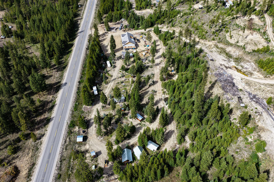
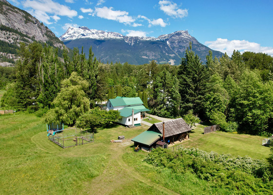
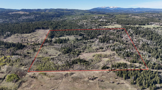
$1,950,000
30.17 acres
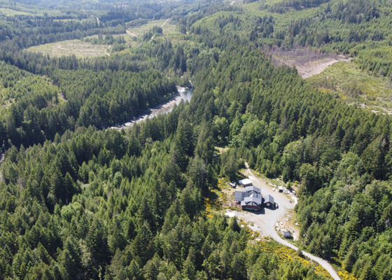
$1,250,000
142 acres

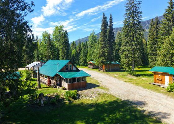
$830,000
320 acres ~ 2 titles
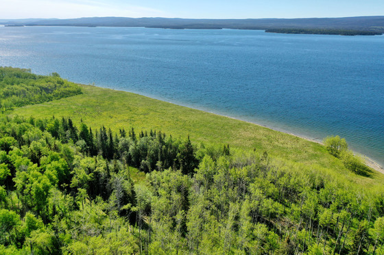
$699,000
14.1 acres
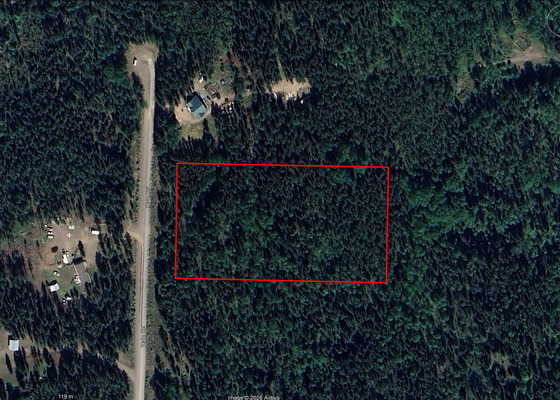
$58,000
5 acres
$299,000
159.1 acres
$325,000
21.8 acres ~ 2 titles
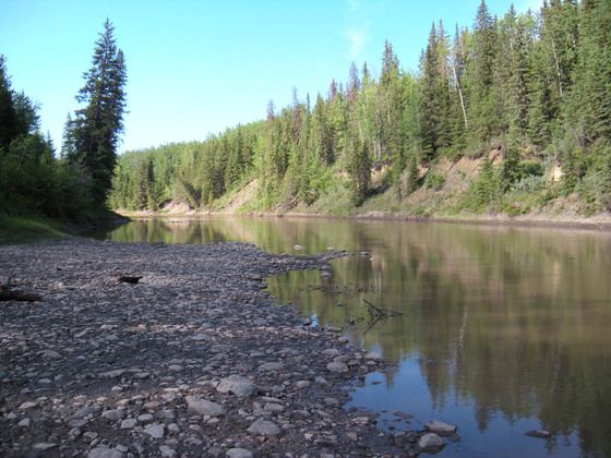
$690,000
18.65 acres
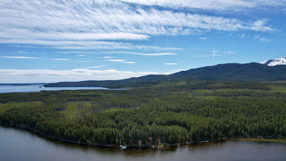
$670,000
161.3 acres
Displaying listings 1 - 10 of 224 in total